Hi everyone,
Context:
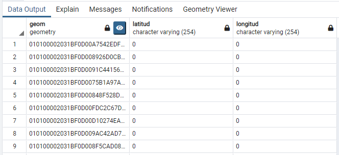
We are implementing a connector to geolocate some subscribers on a map based on the data stored in PostgreSQL. To achieve that, we could use the latitude and longitude (at this moment, they are empty) of each entry as well as a Geometry datatype:

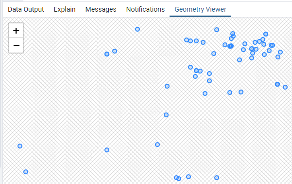
If a user clicks in the "Eye," all the points are automatically located in an empty canvas:

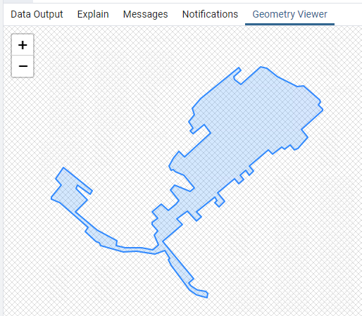
In other tables, we have the Coverage of some devices, stored again as geometry, but in this case, it is a polygon:
 :
:
The geometry data type is used because it is supposed to be much nicer on the system resources than to load the coordinates one by one or load KML on a map.
Question time:
Are the Maps engines that DataMiner Cube supports able to use this type of data? If so, where could we find more information about it?
Hi Arturo,
Something similar can be achieved using an overlay layer with kml or geojson info. However, in that case the geometries need to be available from an publicly accessible URL to allow the maps service such as Google Maps to access the data. See layer types in the help for more information.