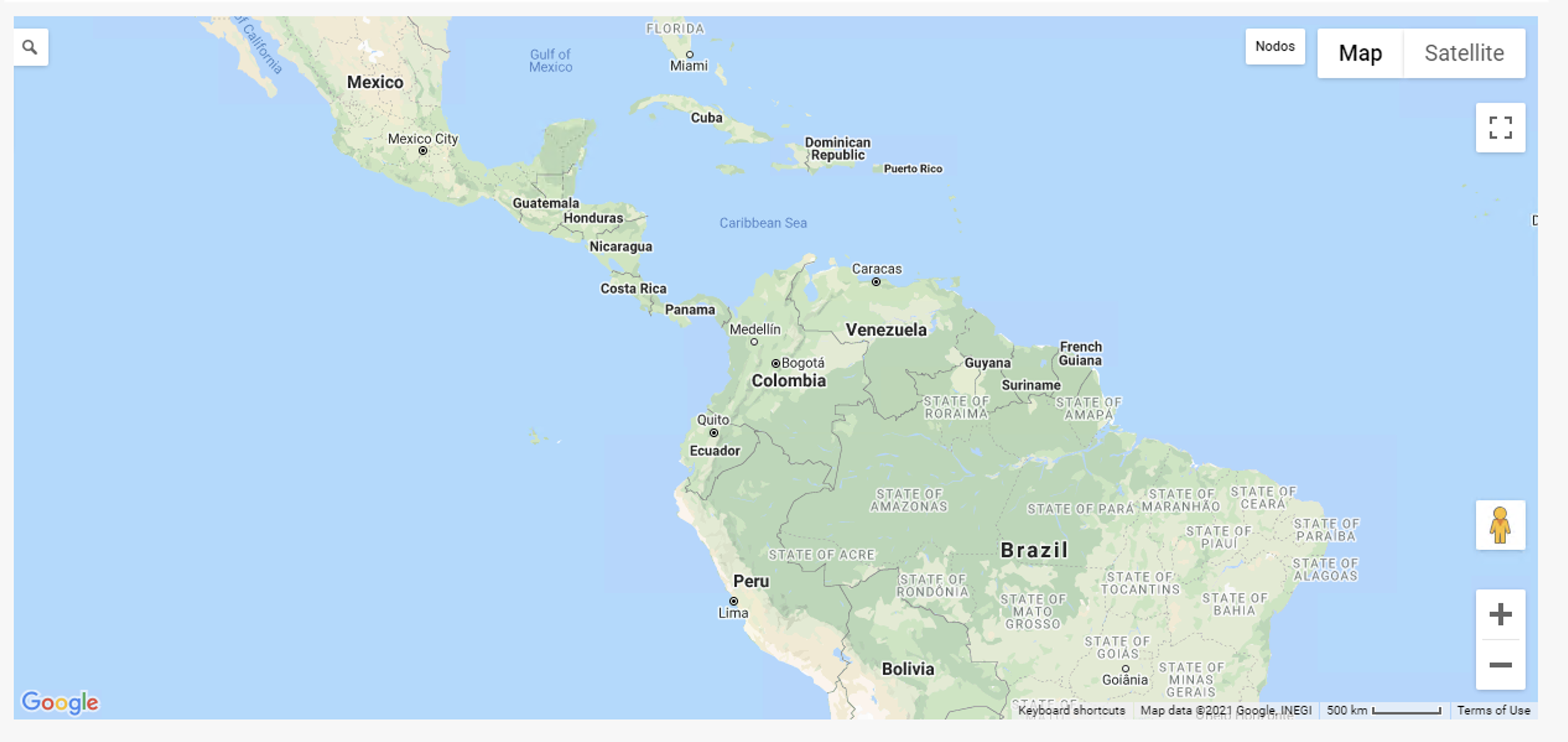
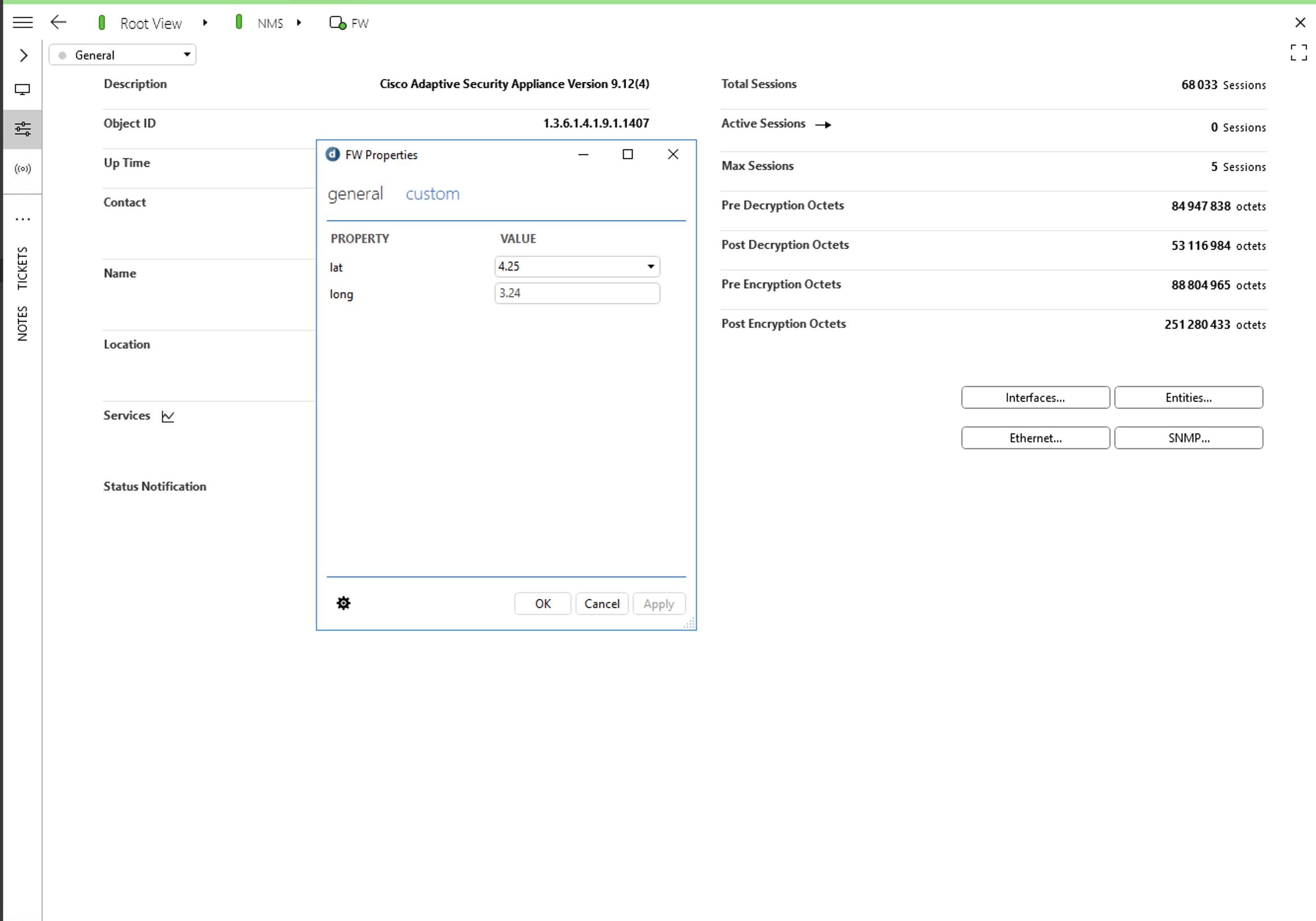
Hi, I have map configured on my DMA, all maps show as well, but I need to know how can locate my firewall on my map; I mean create properties on FW lat and long with location info?, how can read this info and shape over maps?
Is possible create menu with options when select item on maps?


Thanks
Jose Araujo [DevOps Advocate] Selected answer as best
Hi Jose,
You can find this information in DataMiner Help:
- First you will need to configure the host server for DataMiner (Configuring the DataMiner Maps host servers). This configured resides in the file C:\Skyline DataMiner\Maps\ServerConfig.xml
- Next, you will need to build a configuration file: Top-level structure of a DataMiner Maps configuration file.
In this file, one of the most important tags is the Layers tag. On this tag you can define what will be the data source used to display the markers in the map. In your case, you have the geographical locations stored in element properties, so the source type will be properties (Layers of sourceType properties). Please have a look at PropertiesSourceInfo. Here you will find an example about how to use data in element properties to display markers in a map.
Jose Araujo [DevOps Advocate] Selected answer as best
Hi,
Thanks for the quick replay; it is a little confusing, you have an example with the lat/long take from the element parameter?